Today was a really long day, but a highly satisfying one. After a work-related Zoom call at 7:00am, I enjoyed a great breakfast at the hotel and checked out at 8:35am. More accurately, I started to check out at 8:35am but the task was a slow one that took 15 minutes. Nonetheless, I had enough time to walk with my luggage to the Hertz office that was located (as I discovered yesterday) 650 metres to the west of my hotel.
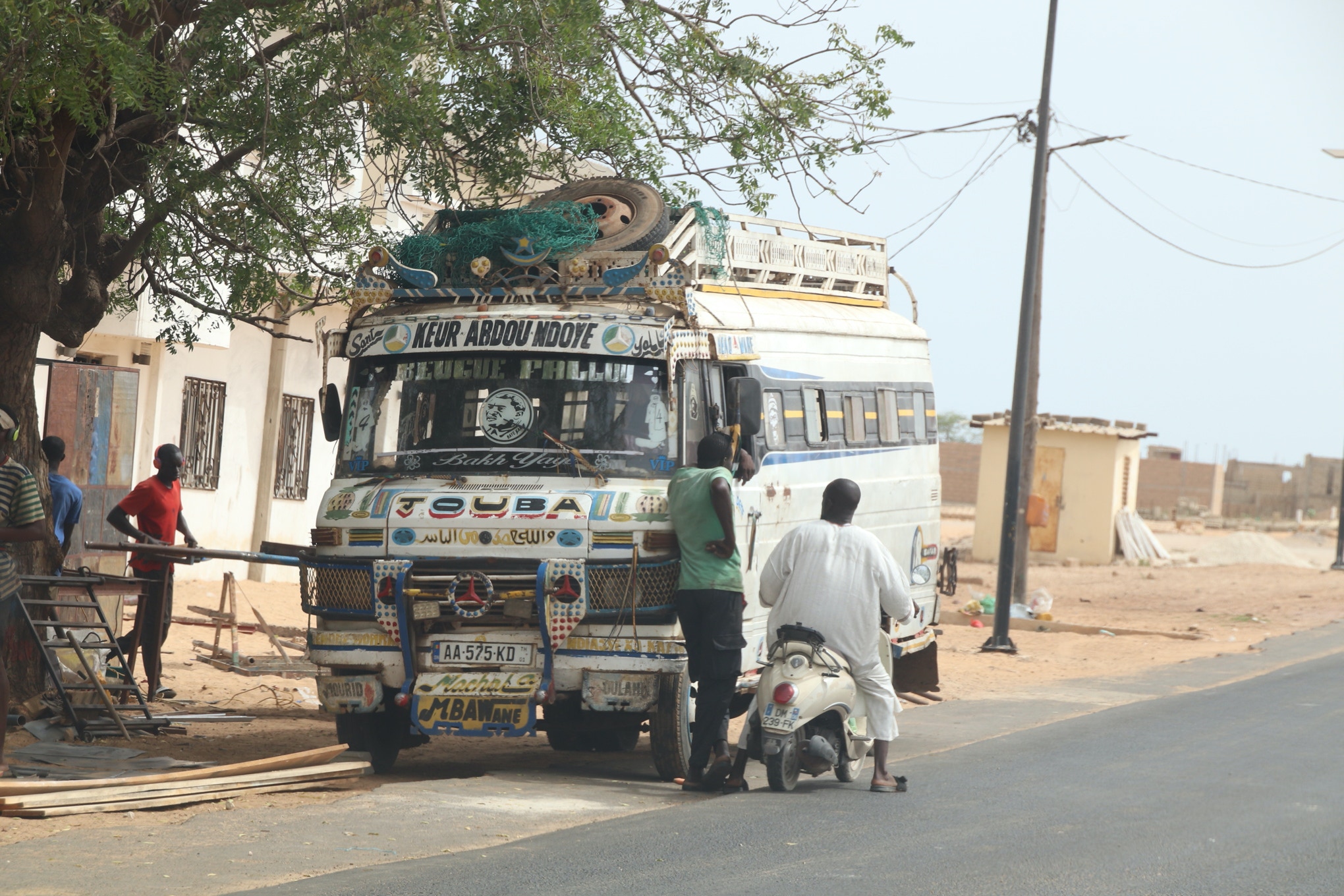
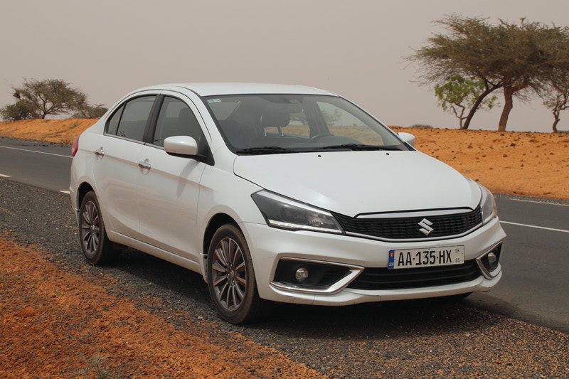
It seems I was starting a day when everything was going to take “African time”, and I don’t think it was only because I speak French more slowly than English. Just after 9:30am I was on my way in a somewhat scratched and dented Suzuki Ciaz, negotiating Dakar’s thick morning traffic.
I was using Google Maps to navigate, which was a blessing due to the local Police habit of randomly closing lanes and even entire streets to reverse the normal direction of traffic. I learned that one should never assume any road in Dakar will be open or will flow in the “normal” direction.
Having said that, I thought the driving in Senegal was fairly predictable and orderly, provided of course driving is done defensively. If you assume pedestrians will walk out in front of a moving car or that drivers in cars will pull out from the kerb without looking first, then all will be well. It is certainly easier driving in Dakar than many other cities where I have driven – Beirut and Bucharest spring immediately to mind here.
I decided to take the older road north to Saint-Louis that roughly follows the coast, a distance of 246 kilometres including my short diversion to a fishing village I was really keen to see.
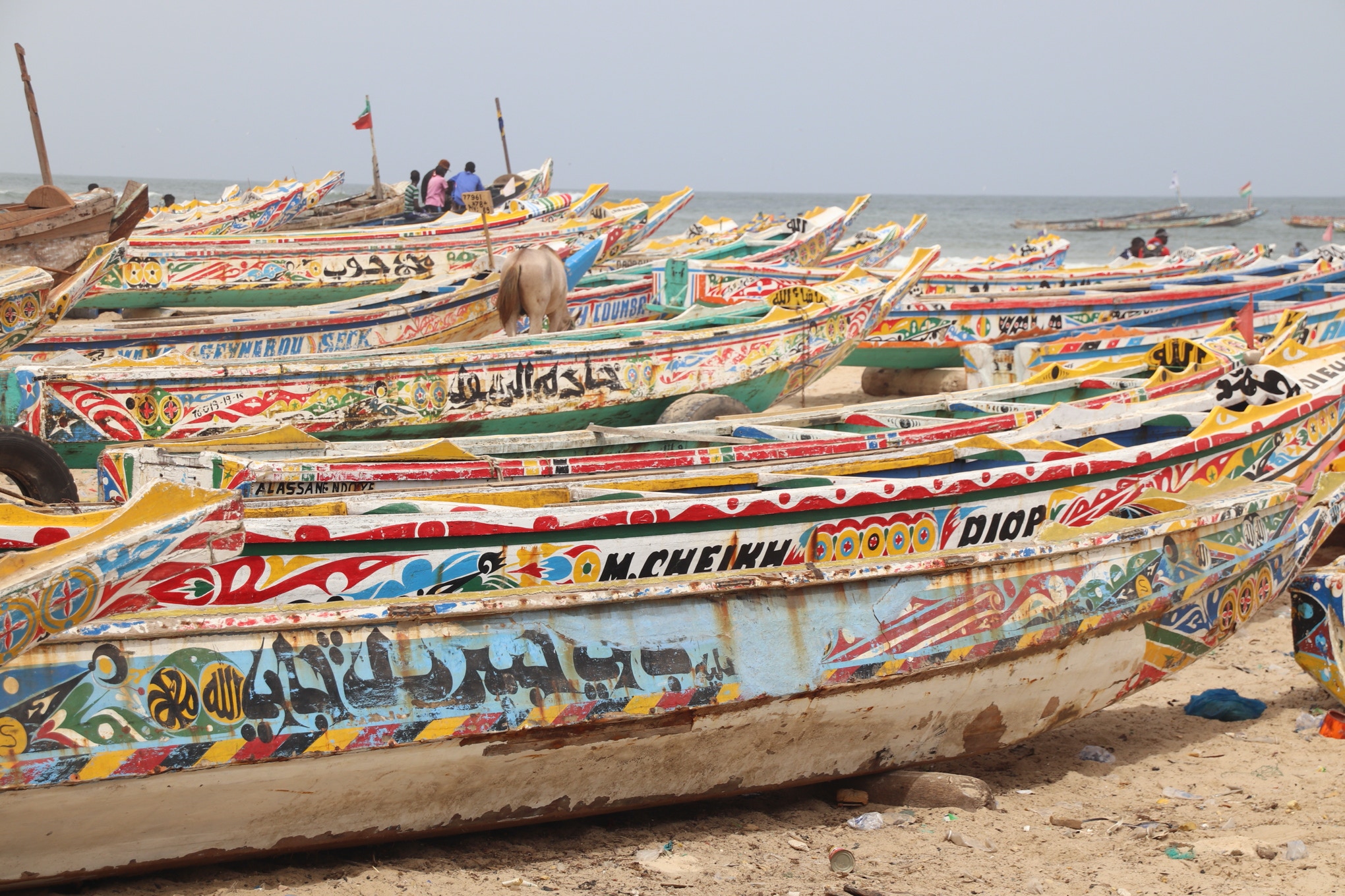
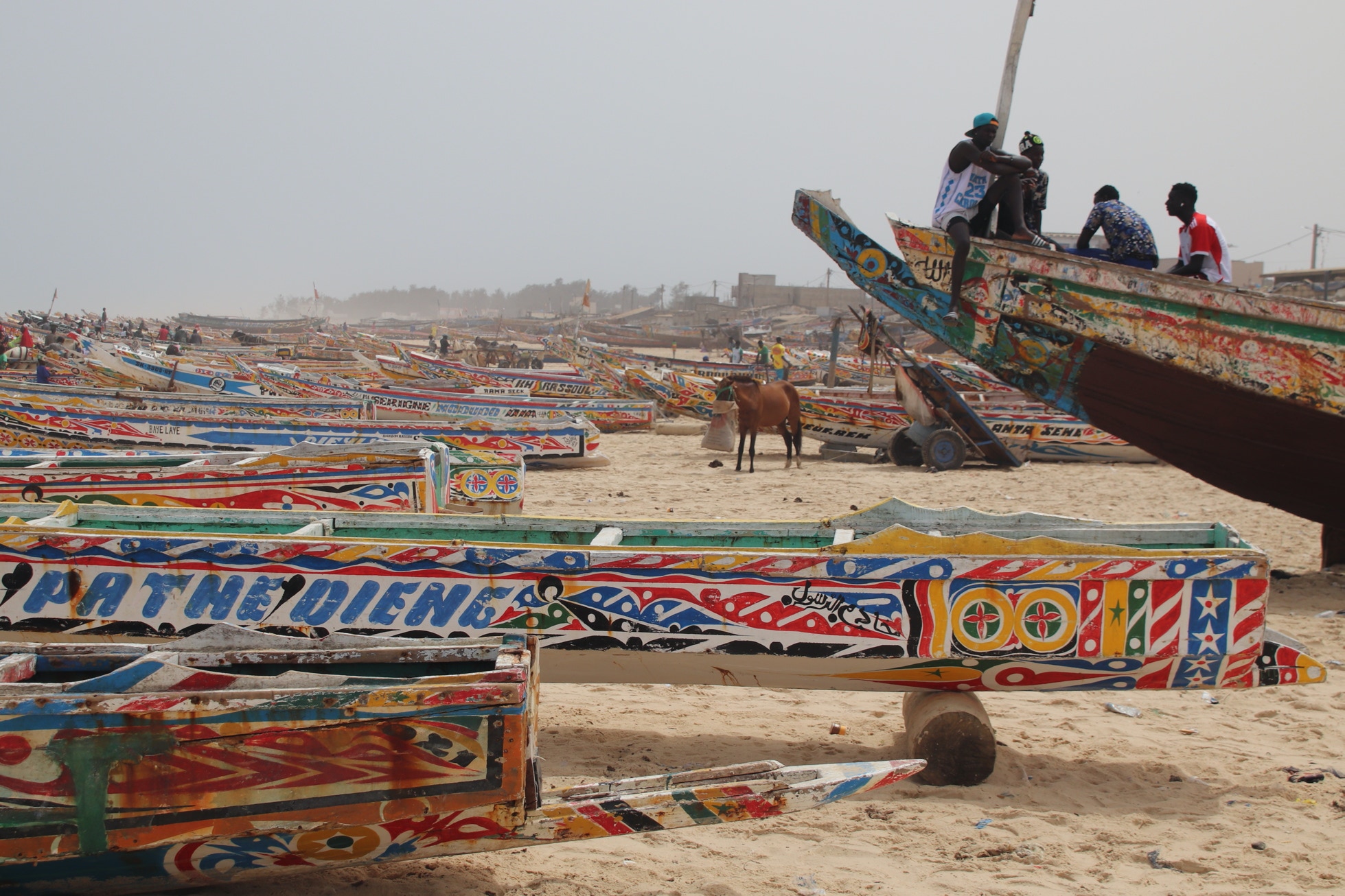
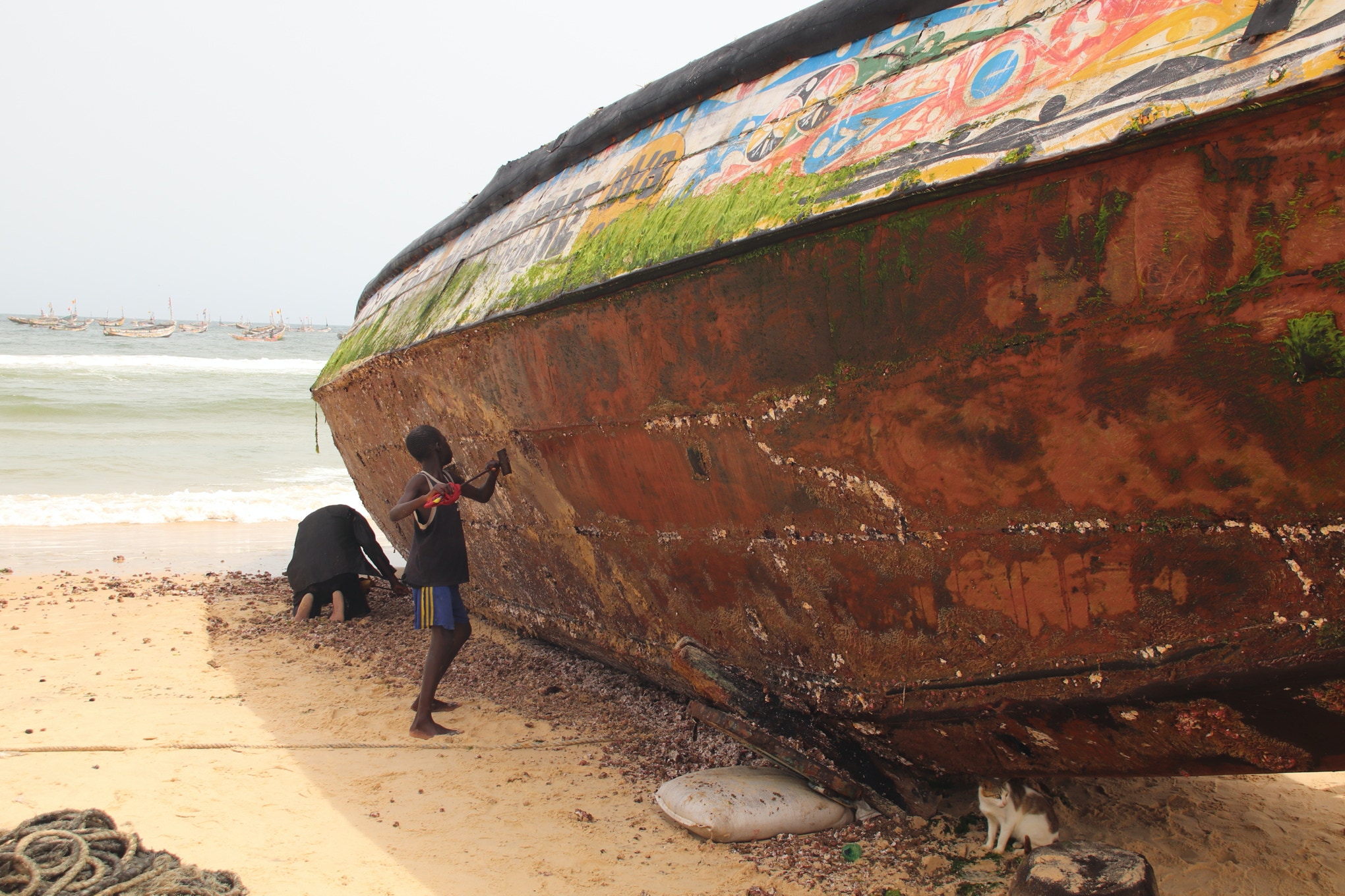
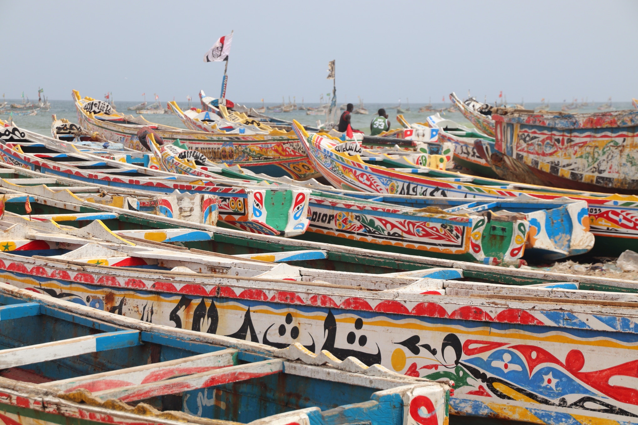
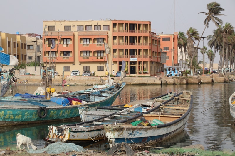
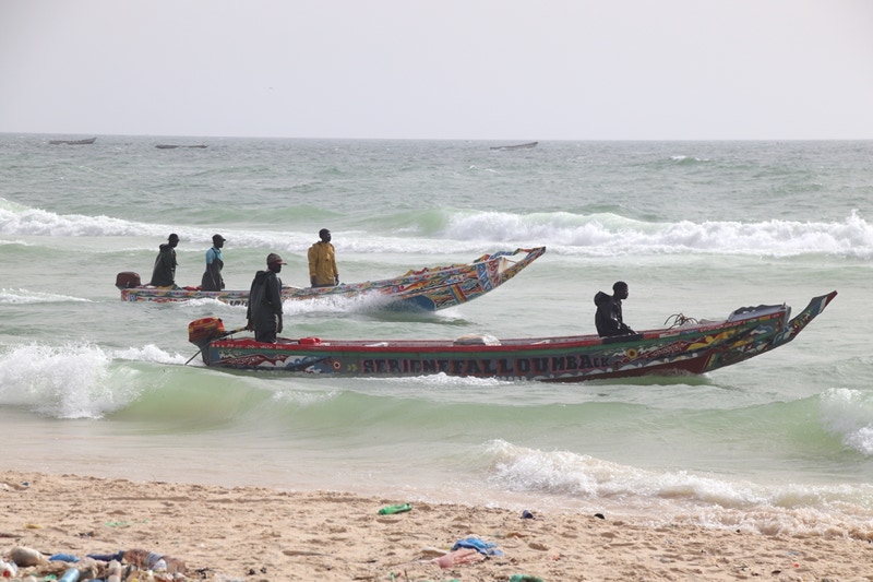
Kayar is known as one of Senegal’s largest fishing communities, and when I arrived it was easy to see why. The town is essentially linear and follows the coastline, which comprises a wide, sandy beach. The beach was home to hundreds, and perhaps thousands, of brightly coloured fishing boats. A few boats were out to sea when I visited, but most seemed to be on the beach with their crews sitting around, waiting for the right conditions.
I understand that the fishing industry in Kayar is under extreme pressure because of two factors. First, offshore gas and oil rigs have been established which have reduced fishing yields – the classic tension between making more money from energy products than fish versus who receives the income; the local population or large overseas corporations (in this case mainly BP).
The second factor emerges as a consequence of the first, combined with the factor of Senegal’s rapid population growth. As fishing yields have declined, tensions have emerged between various fishing communities that have resulted in inter-community fighting. Increasingly this fighting is escalating into a festering conflict that is resulting in fishermen setting fire to houses and burning down entire neighbourhoods of villages they see as competing with them for fishing yields.
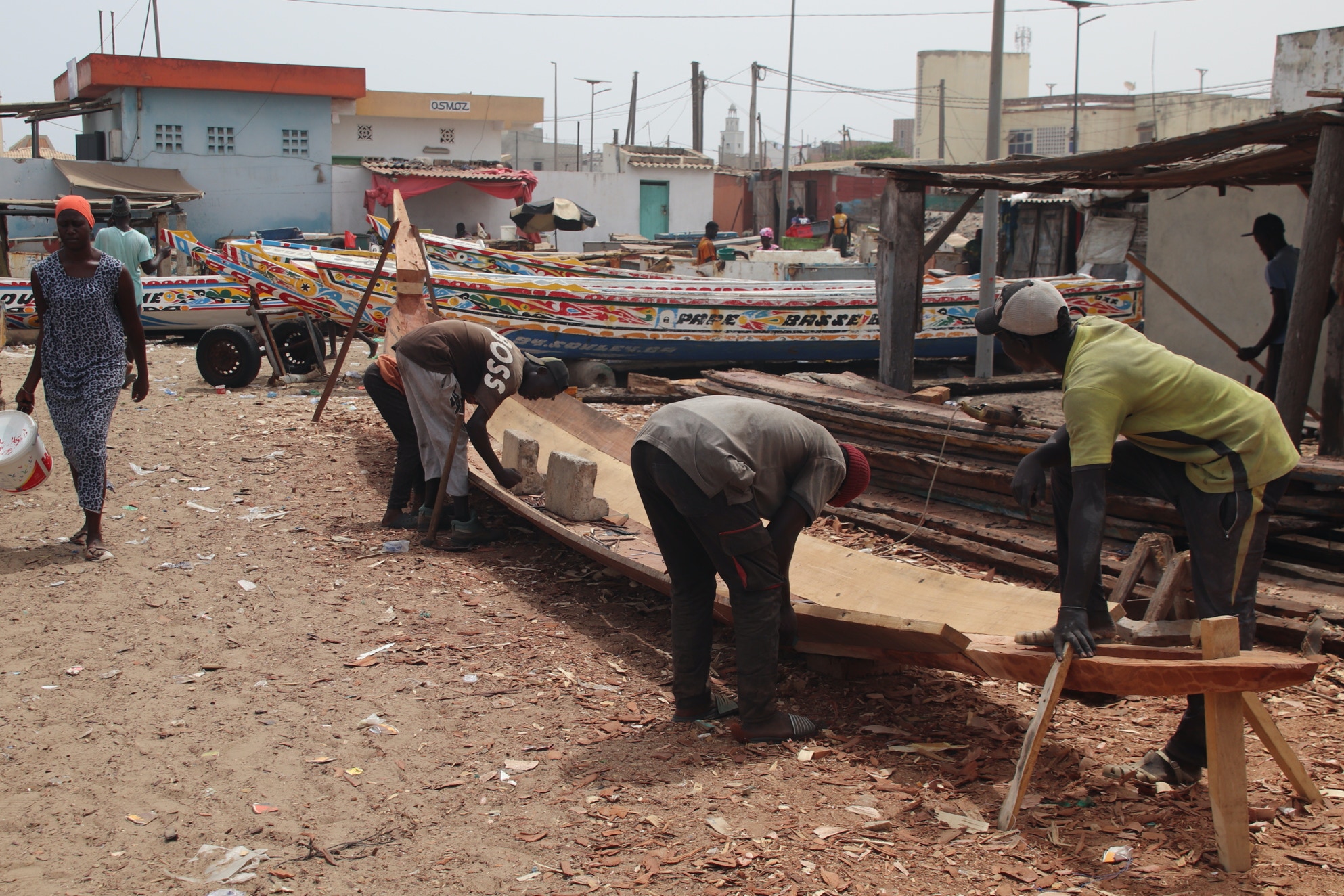
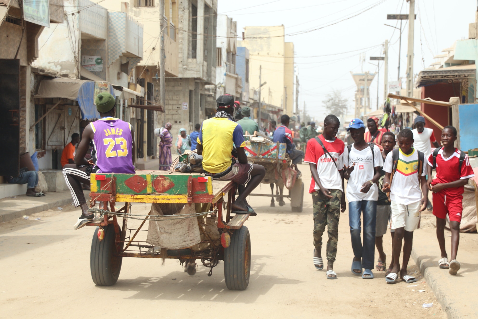
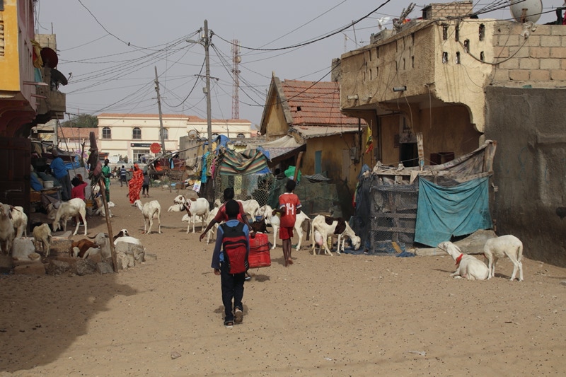
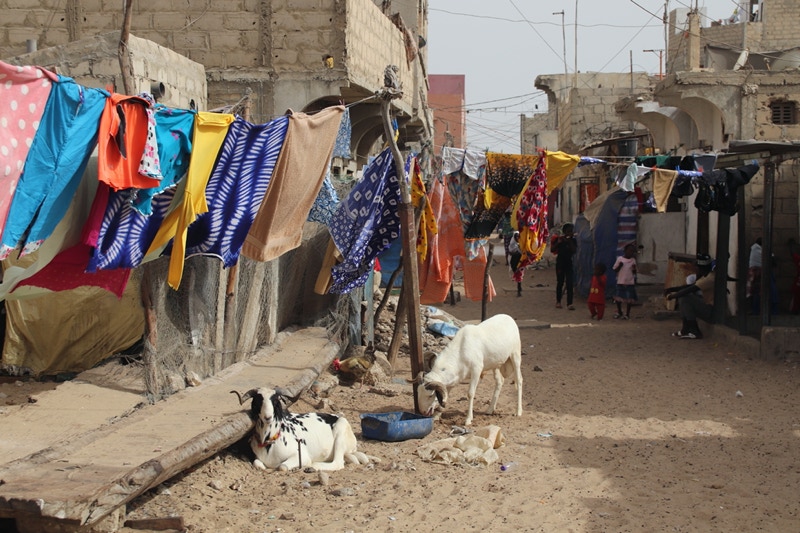
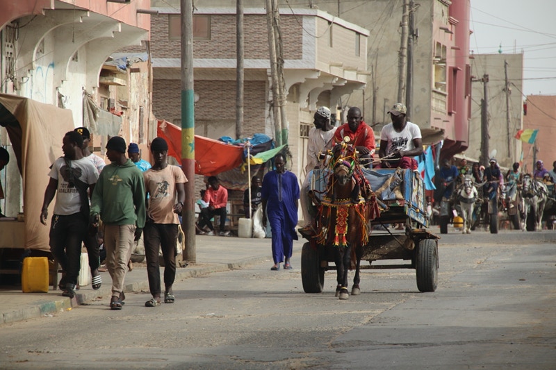
I spent almost an hour exploring the beach and the boats as well as some of the associated activities such as boat building and painting. Interestingly, the congested streets of Kayar had very few cars as almost all transport (apart from walking) comprised horses pulling open carriages, whether taxis or private transport.
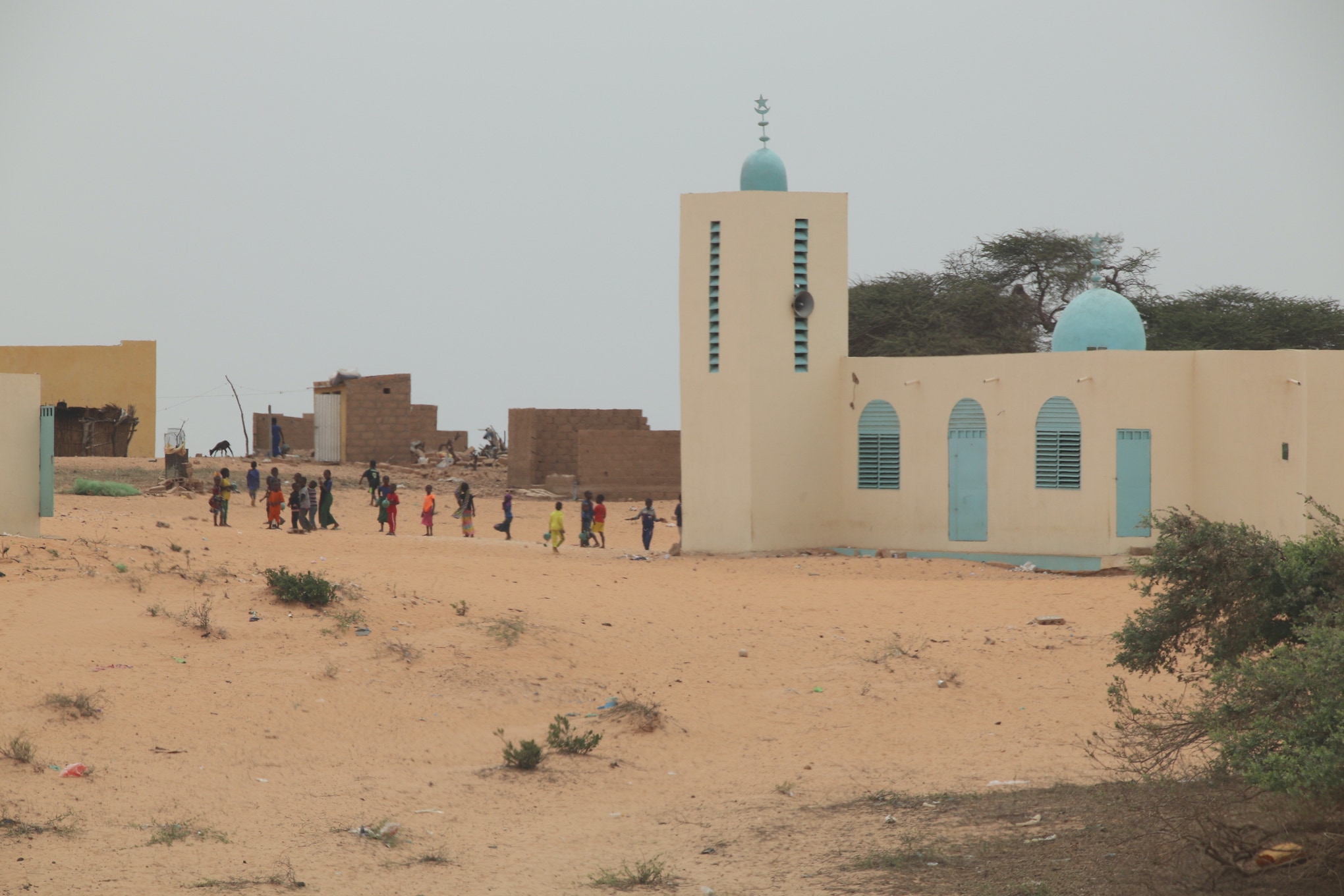
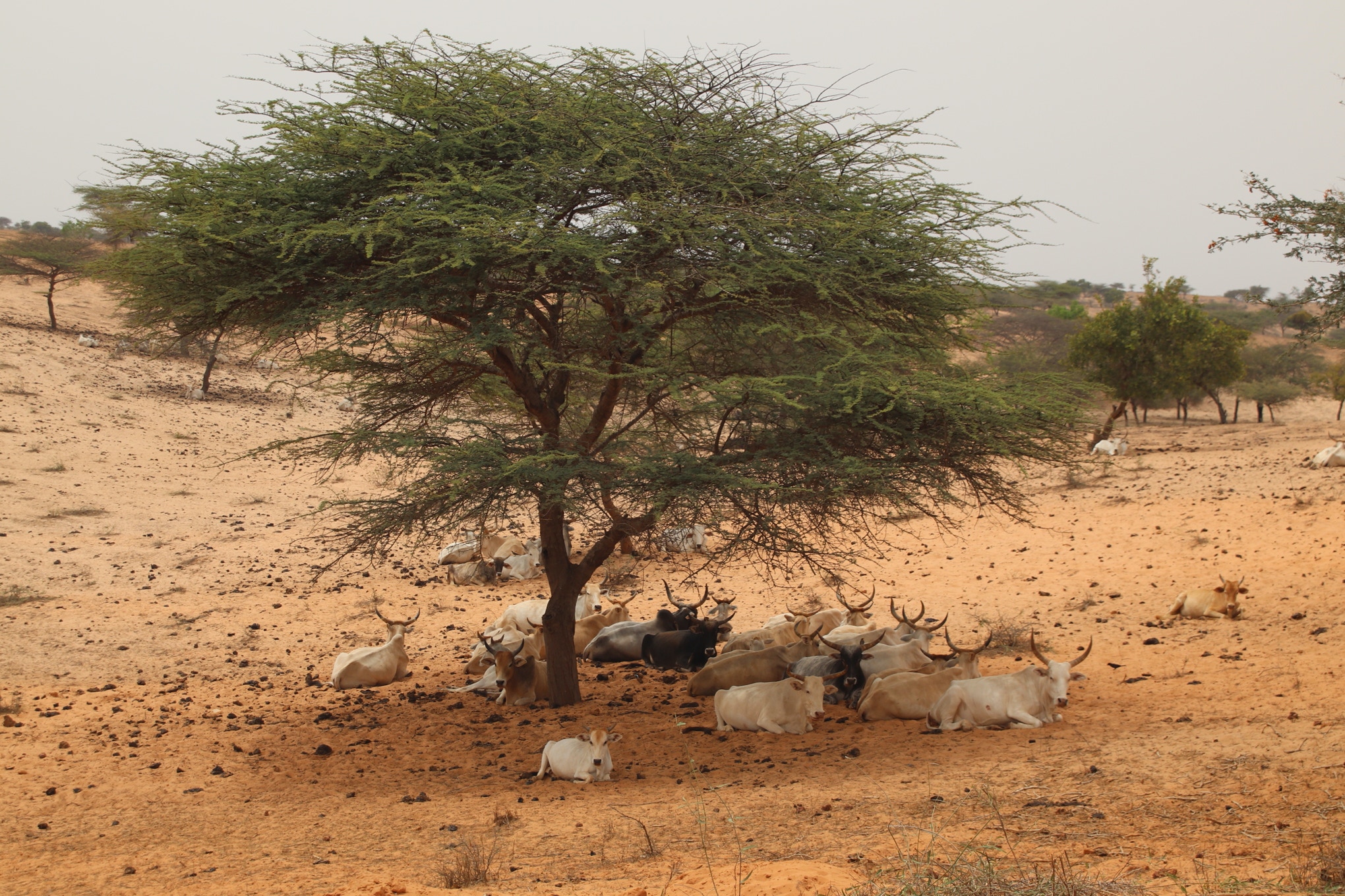
As my drive northwards continued I felt it became less interesting than I had hoped, partly because the ocean and coastline were never visible and because the land was fairly barren. The drive was also more arduous than I had expected because of the atrocious condition of the road. Although there were some good sections, most of the road was severely potholed (at times there was more area of potholes than bitumen) and it was safer to drive on the unsealed verge. Other hazards included hundreds of unmarked, almost invisible decaying speed humps and random animals such as goats, donkeys and chimpanzees ambling across the road.
One trend I did notice on the drive was that as I proceeded northwards, the landscape became increasingly arid. By the time I was approaching Saint-Louis I was driving through sandy desert with just a few acacia trees. Of course this wasn’t entirely surprising as Saint-Louis is essentially the western coastal limit of the southern edge of the vast Sahara Desert. This helps explain the frequent wind-blown sand drifts I drove through and the pallid colour of the sky that had been rendered greyish-white due to the airborne dust and sand.
I reached Saint-Louis just before 4:00pm. Although its population is under 200,000 people, Saint-Louis is a highly significant town as it was the first French colonial settlement in Africa, later becoming the capital of all French West Africa before later losing that role to Dakar.
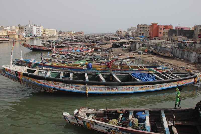
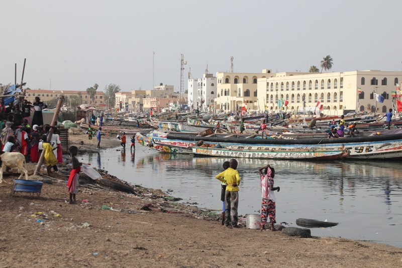
Saint-Louis comprises three separate and quite distinct zones. By far the largest part is the eastern “modern”, not-so-organised settlement on the mainland. This is joined to the west by a bridge that links the central section, which is the historic French colonial zone on an island in the Senegal River called Île de N’Dar. Two other bridges then join Île de N’Dar to the westernmost part of Saint-Louis which is built on the long, thin north-south strip of land known as the Langue de Barbarie Peninsula. This is where the thriving fishing community is located and is the most traditionally African section of Saint-Louis.
My hotel, the Hôtel de Palmeraie, was located at the south-western tip of the Île de N’Dar in a French colonial era building that was (to put it charitably) a little tired in places, and most certainly under-illuminated. Nonetheless, I think the view from my balcony (Room 118) must have been the best view in all Saint-Louis as I looked down on the bustling river traffic and tied up fishing boats of the Langue de Barbarie Peninsula. The view was, however, not a quiet one.
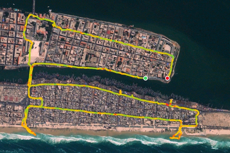
Having been driving for most of the day, I was looking forward to a good walk, and six kilometres later I was not disappointed. The route I took is shown in the image at the foot of this page (with north at the left of the satellite image); the location of my hotel where I finished the walk is shown with the red dot).
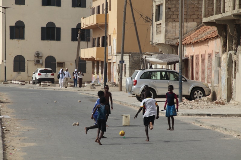
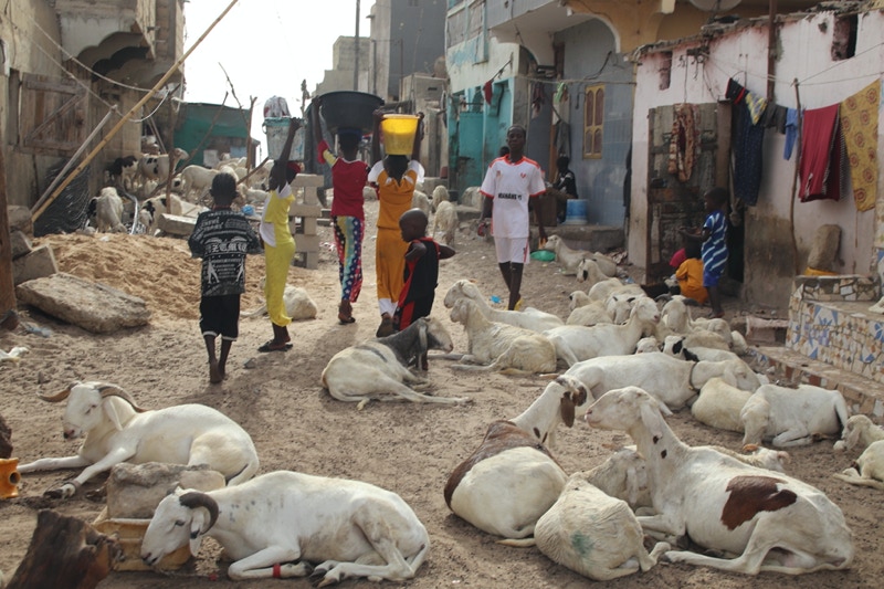
One of the first things I noticed as I began my late afternoon walk was the large number of children who were outside playing together in the streets, or playing on the fishing boats, or in some cases helping with chores such as carrying water in buckets on their heads or looking after animals such as goats. Everywhere I went the sound of children’s laughter could be heard; it made me realise how serious and sombre the tone of Western societies seem to have become by comparison.
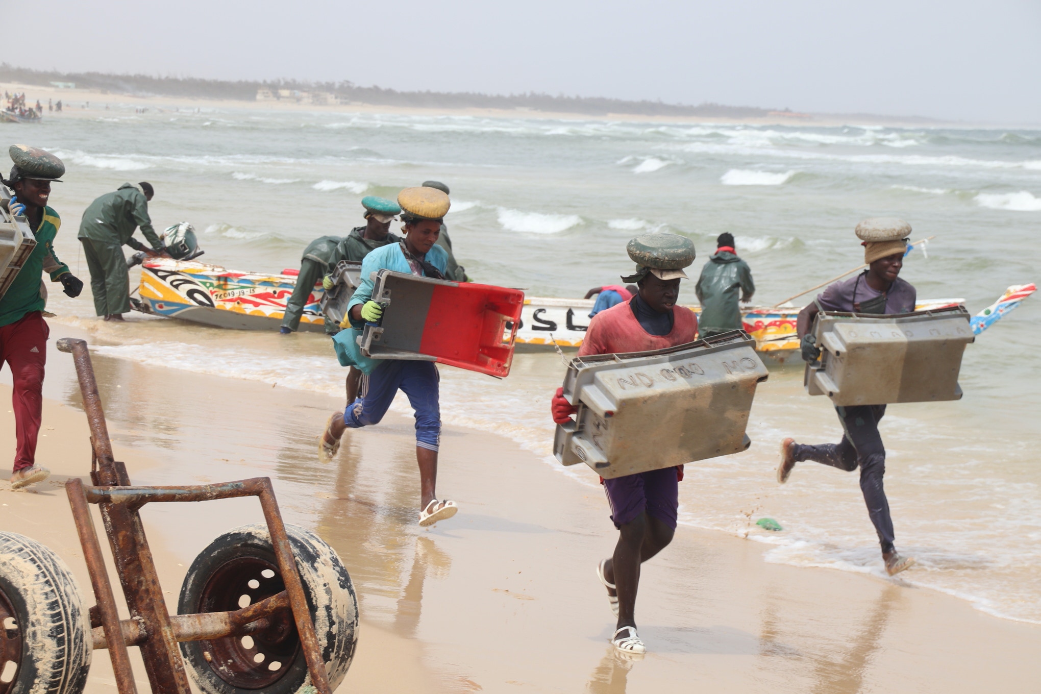
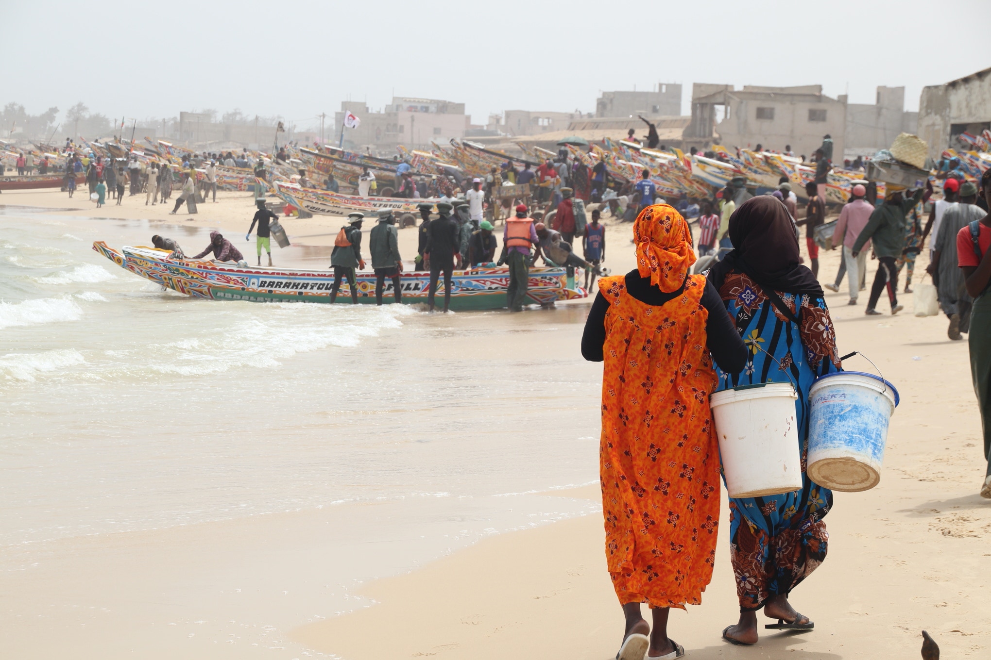
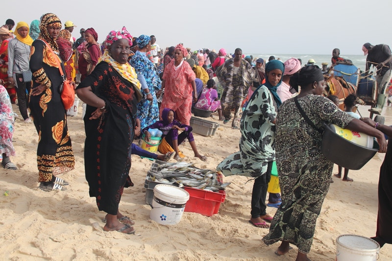
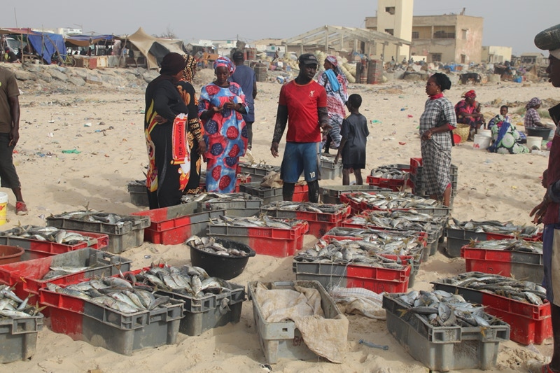
The main area where fishing families live is towards the southern end of the Lange de Barbarie Peninsula where the settlement is known as Guet N’Dar. This is the area where I spend most of my time walking, first exploring the fishing boats, then the streets, and finally at the southern end where fishing boats were bringing their catches ashore to be surrounded by bargain hungry residents (almost all women) even before the boat had landed. Inland from this frenetic activity on the wave-sediment interface on a nearby street was a more sedate fish market that was doing a brisk business, this time mainly with men as the buyers.
The streets of Guet N’Dar were as fascinating as the fishing activity. There were almost no cars in Guet N’dar, and by far the most common vehicles were horses with open carriages. Walking along the streets, experiencing the vibrant life of the small laneways, was an intoxicating experience. Even the aromas in the town – a mix of salt spray, horse manure and fresh fish – was a surprisingly pleasant aromatic cocktail.