Kyrgyzstan and Tajikistan 2018
Kyrgyzstan and Tajikistan 2018
Kyrgyzstan and Tajikistan
2018
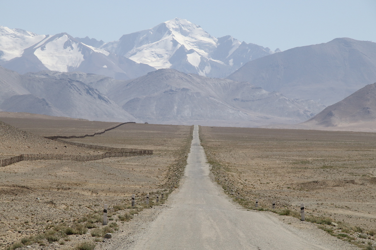
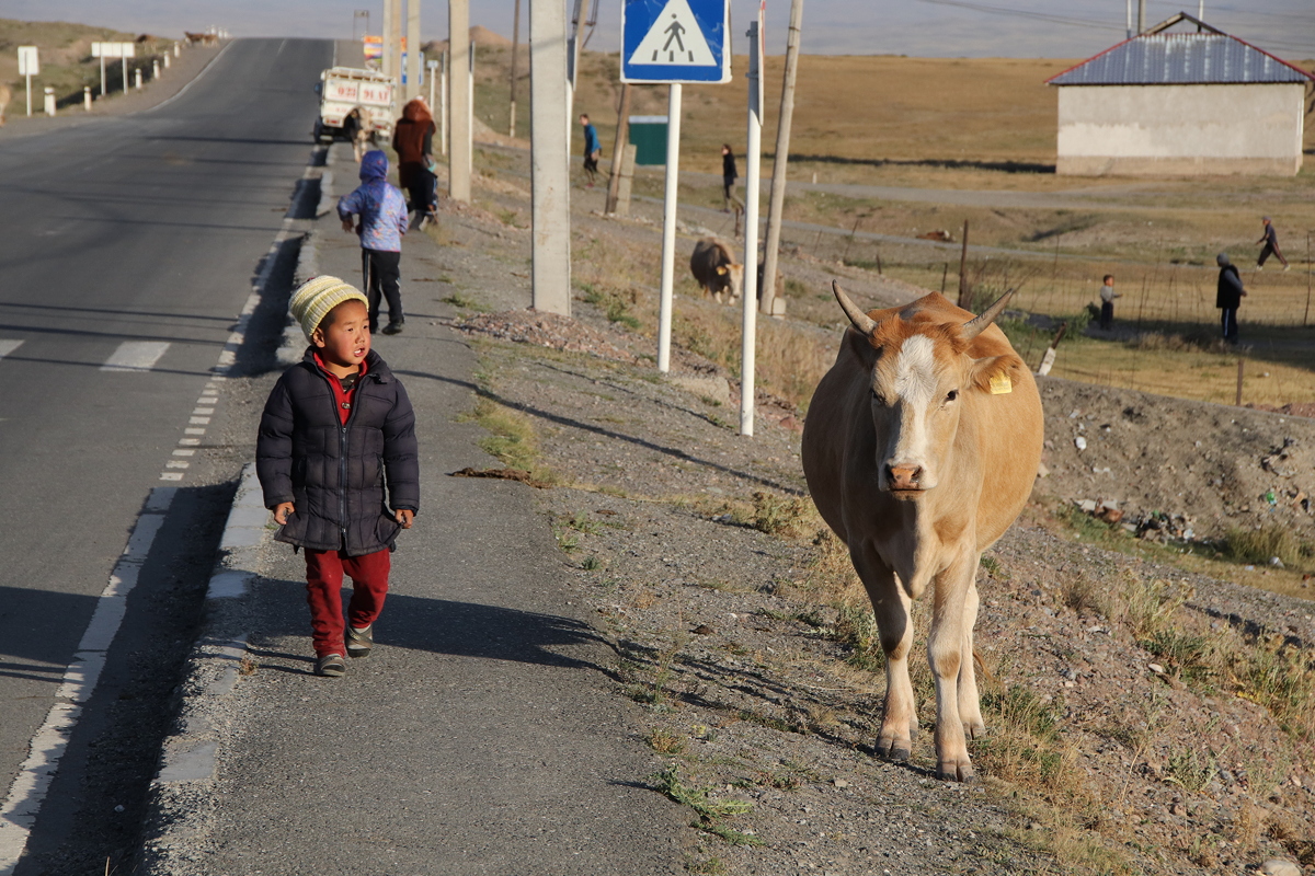
I wouldn’t say that my sleep last night was the best I have ever had. Maybe it was the altitude, maybe it was the hard floor-mat, maybe it was the strange noises made by the others with whom I was sharing the room. After a good breakfast in the yurt in the guesthouse’s compound, we set off southwards at about 8:20am, heading for the border with Tajikistan.
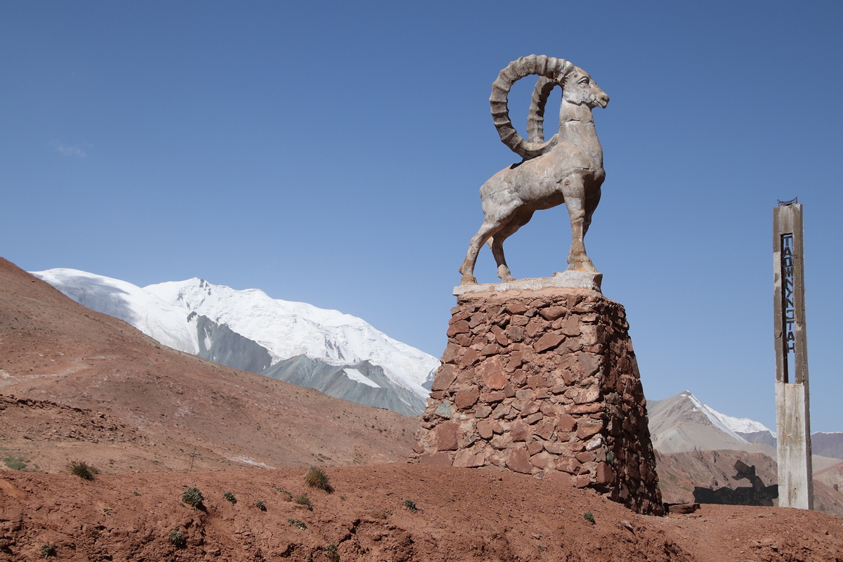
It took only about 40 minutes to reach Bor-Dobo, the Kyrgyz border point. There is a gap of some twenty kilometres between the Kyrgyz border post and the Tajik border post at Kizil-Art, with the actual border being situated at the top of a pass at an altitude of 4,280 metres. It was a bit worrying when two camouflaged Kyrgyz soldiers wearing black balaclavas and carrying Kalashnikov machine guns waved our bus to a stop, and after some words to the driver, got in and sat in the front seats. Intimidating though this was, it turned out they just wanted a lift up to the top of the pass where they got out and, like us, posed for photos (for each other, not for us) at the border point which was marked by two tall (but decaying) obelisks and a large statue of a mountain goat.
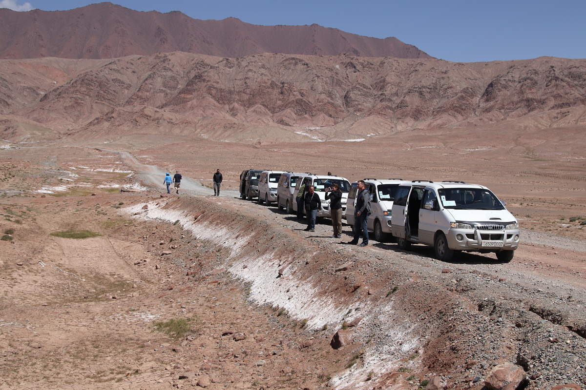
At the Tajik border point, we farewelled our Kyrgyz drivers and met our Tajik drivers, with their fleet of six microbuses that would take us on the next stage of the journey. We also turned our watches back an hour to account for the time difference between Kyrgyzstan and Tajikistan, even though we had moved to the east (Tajikistan’s time is based on the location of its capital city, Dushanbe, which is in the country’s west). It took three hours to enter and leave the border zone between the two countries, as both Kyrgyzstan and Tajikistan officials painstakingly completed their records in longhand in large hard-covered books.
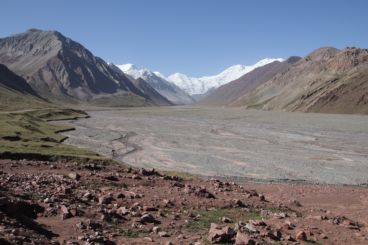
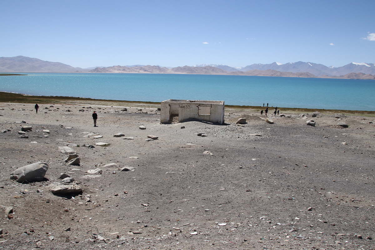
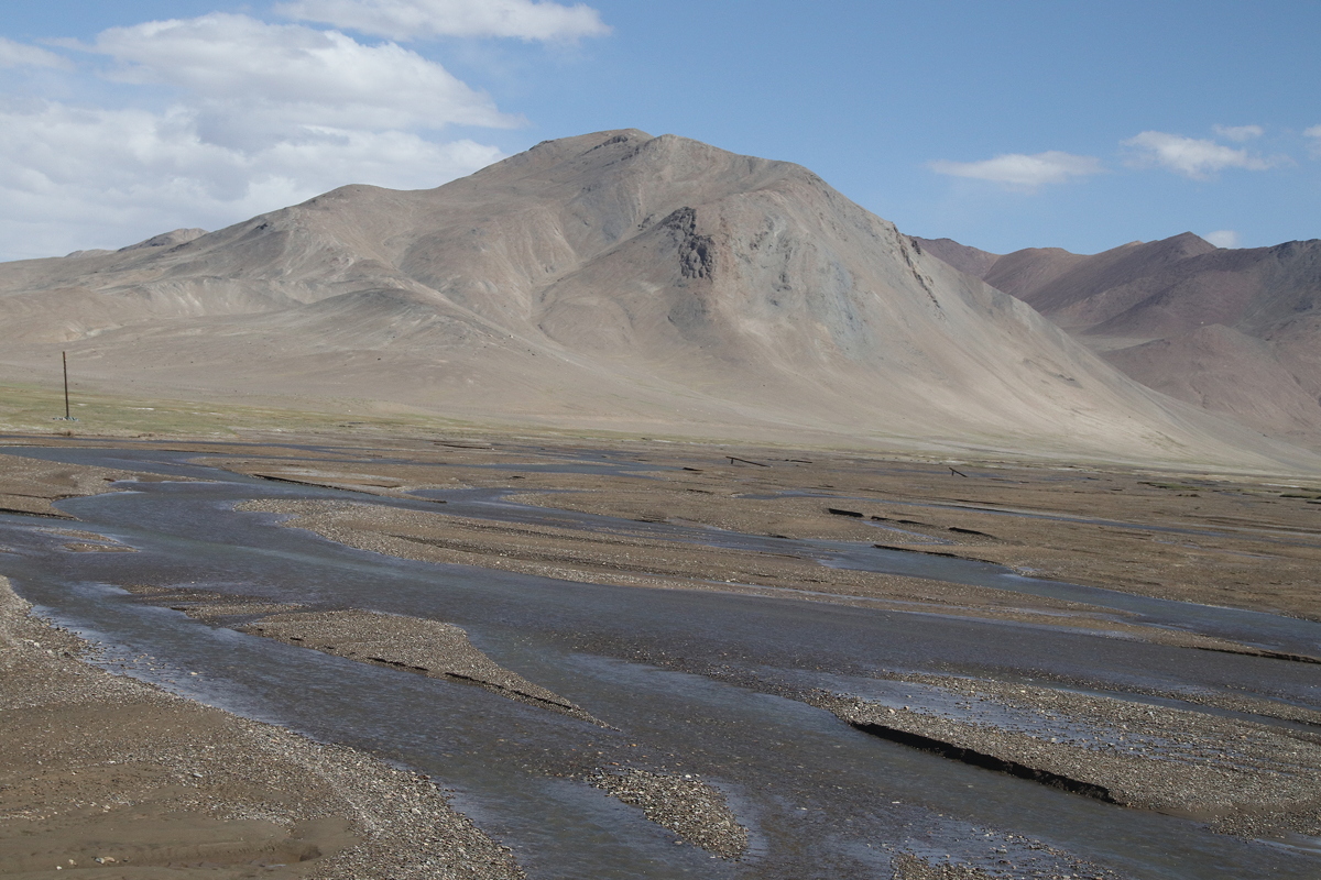
The landscape became more stark as we travelled further into Tajikistan, and would properly be called a high altitude desert. After several brief photo stops, we made a longer stop on the shores of Kara-Kul Lake for lunch. This high altitude lake was formed millions of years ago as a result of a meteorite impact. After lunch, we walked to the shores of the lake to enjoy the stunning views of the blue water with the snow-capped Lenin Peak (which reaches 7,134 metres) as its backdrop
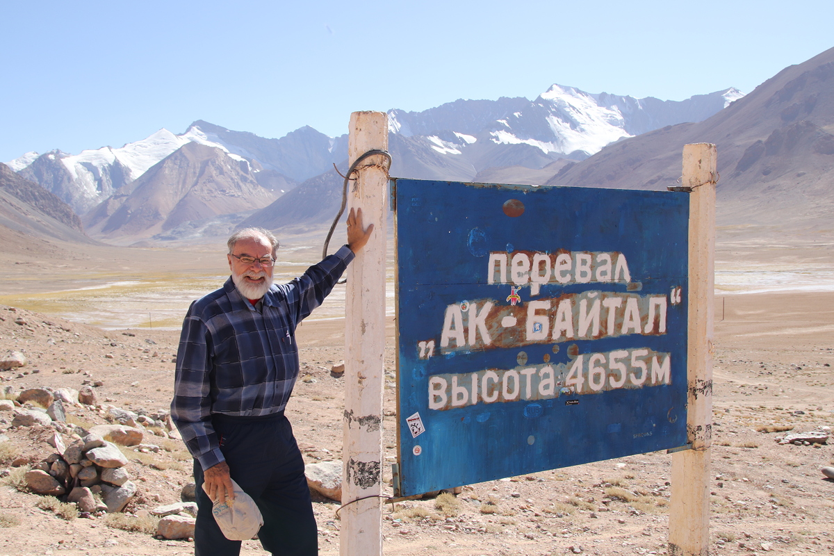
We then continued to drive upwards over the 4,655 metre high Ak-Baital pass, the highest point on the M41 (Pamir) highway. Unlike yesterday, when the wind was bitingly cold, today’s conditions seemed relatively mild despite the higher altitudes. Indeed, I felt too hot for much of the day in the four layers of clothing I had put on in the cool early morning.
It is said that in Tajikistan, you are closer to the moon than anywhere else on earth, not only for the height of the mountains but also for the scenery which resembles a lunar landscape. Indeed, the landforms and the patterns of weathering were huge in scale and especially well-formed, and the bright colours served to give the stark landscape a stunning beauty.
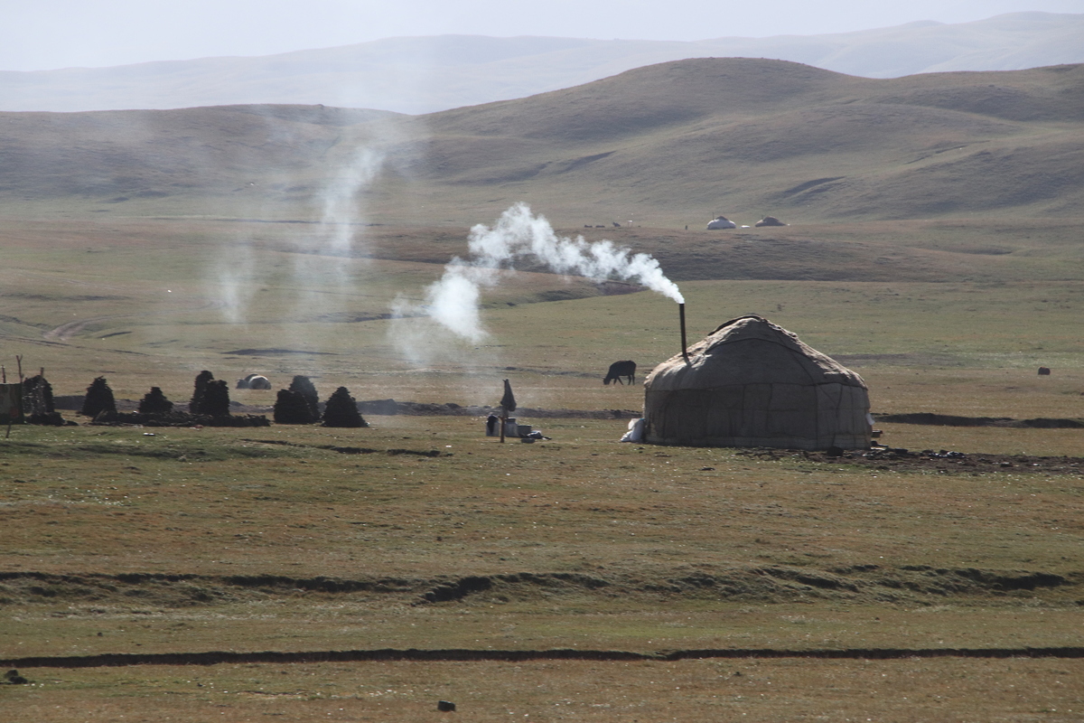
For much of the drive south through Tajikistan, a high T-shaped barbed-wire fence followed us on our left. This fence was a relic of the Sino-Soviet conflict of the 1970s. The Chinese border was only about five to ten kilometres to the east of our road for most of the afternoon’s drive, and the Soviet Government built the fence to stop illegal immigration between the USSR and China in the mid-1970s. A similar structure parallels the Soviet fence on the Chinese side of the border. These days, the border fence doesn’t appear to be very effective, as it is punctuated by several holes and gaps, some large enough to drive cars through, enabling people to reside and work in the ‘no-man’s land’ zone.
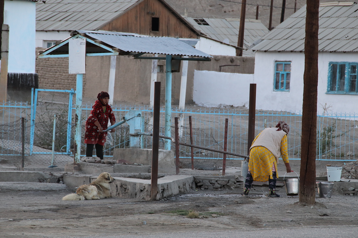
After a day’s travelling on consistently poor roads, we arrived in Murgab at about 5:20pm (altitude 3,630 metres). Formerly known as the Pamirsky Post, the town was founded by the Russians in 1893 as their furthest military outpost. The town is now home to around 4,000 inhabitants, and presents a run-down, decaying appearance. Perhaps the highlight of the town is the well-preserved Lenin statue in one of the town’s two main streets, facing a plain war memorial that features a skull-like face wearing a Red Army helmet. It is interesting that there are so many statues of Lenin still taking pride of place in towns and cities that were once remote Soviet outposts.
After last night’s stay in a guesthouse, the promise of hotel accommodation tonight was quite appealing. Unfortunately, the hotel wouldn’t really warrant a single star rating. Electricity is turned on only between 6:30pm and 10:00pm, although our group did pay for an extra hour of electricity through to 11:00pm. We were told there would be no electricity or hot water for the following morning. No soap or towels were provided (although I was able to get a towel upon request, after a half hour search and wait to find a hotel employee). The hotel looked to have been built in the Brezhnev era, and has probably not seen any serious maintenance since that time. The empty TV aerial plug on the wall, the various bare wires hanging from the dirty lime green painted concrete walls, and the heavily scratched furniture that swayed perilously when any weight was placed upon it all attested to a former, faded, long-forgotten glory.

Day 5
Sary-Tash to Murgab
Monday
20 August 2018