Middle East Travel Diary 2010
Today was a good example of how you can have a great experience while travelling even when the plans go totally pear-shaped.
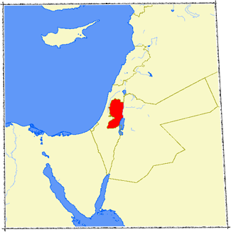
Our intention today was to drive north to Nazareth and Capernaum through the territory of the West Bank, returning along the Jordan River Valley. We knew that Israelis never entered the West Bank and would therefore have driven to Nazareth via a long toll road that skirted around the West Bank to its west. However, as holders of non-Israeli passports we knew could enter the area controlled by the Palestinian Authority, so we set out at about 9 am for the 120 kilometre drive north.
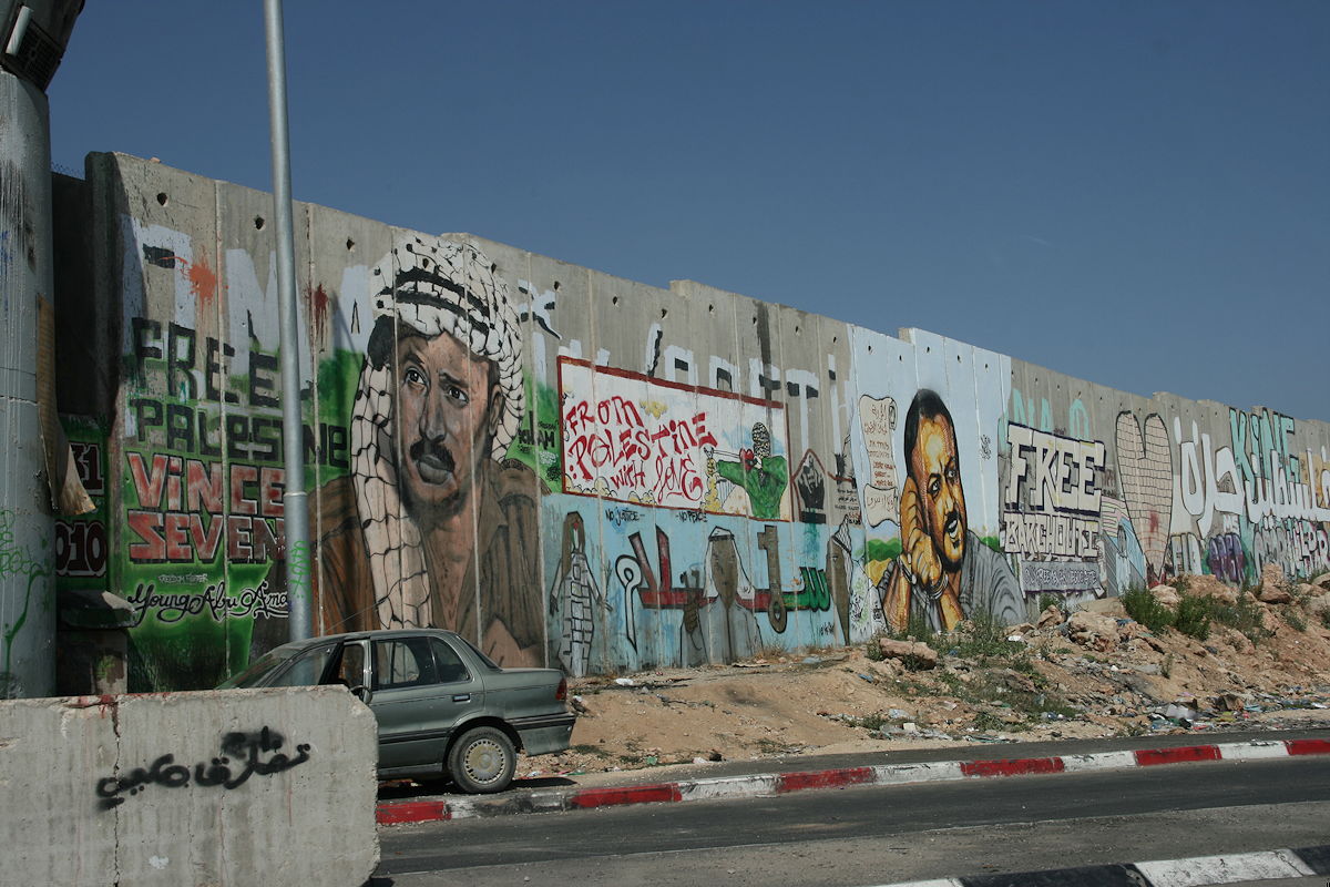
The West Bank is one of the two areas within Israel that is under the jurisdiction of the Palestinian Authority. Before the Six Day War in 1967, it was part of Jordan. Since that time it has been part of Israel (or, as some would assert, it has been under Israeli occupation). It is the larger and eastern part of the two Palestinian territories, the smaller and western part of Palestine being the very troubled Hamas-controlled area of Gaza. A large part of the West Bank area north of Jerusalem that we visited today was known in Biblical times as Samaria; it is where the ‘Good Samaritan’ of Jesus’ parable would have lived. Historically, most of the West Bank north of Jerusalem comprised Judah and Samaria, although both of these terms tend to be ‘politically incorrect’ these days because they imply Israel’s historical right to sovereignty over the territories.
Shortly after entering Palestine, we drove through Ramallah, which houses the headquarters of the PLO (Palestine Liberation Organisation). I had often heard of Ramallah in the news, and was somewhat surprised to find it located so close to (just 25 kilometres from) the centre of Jerusalem.

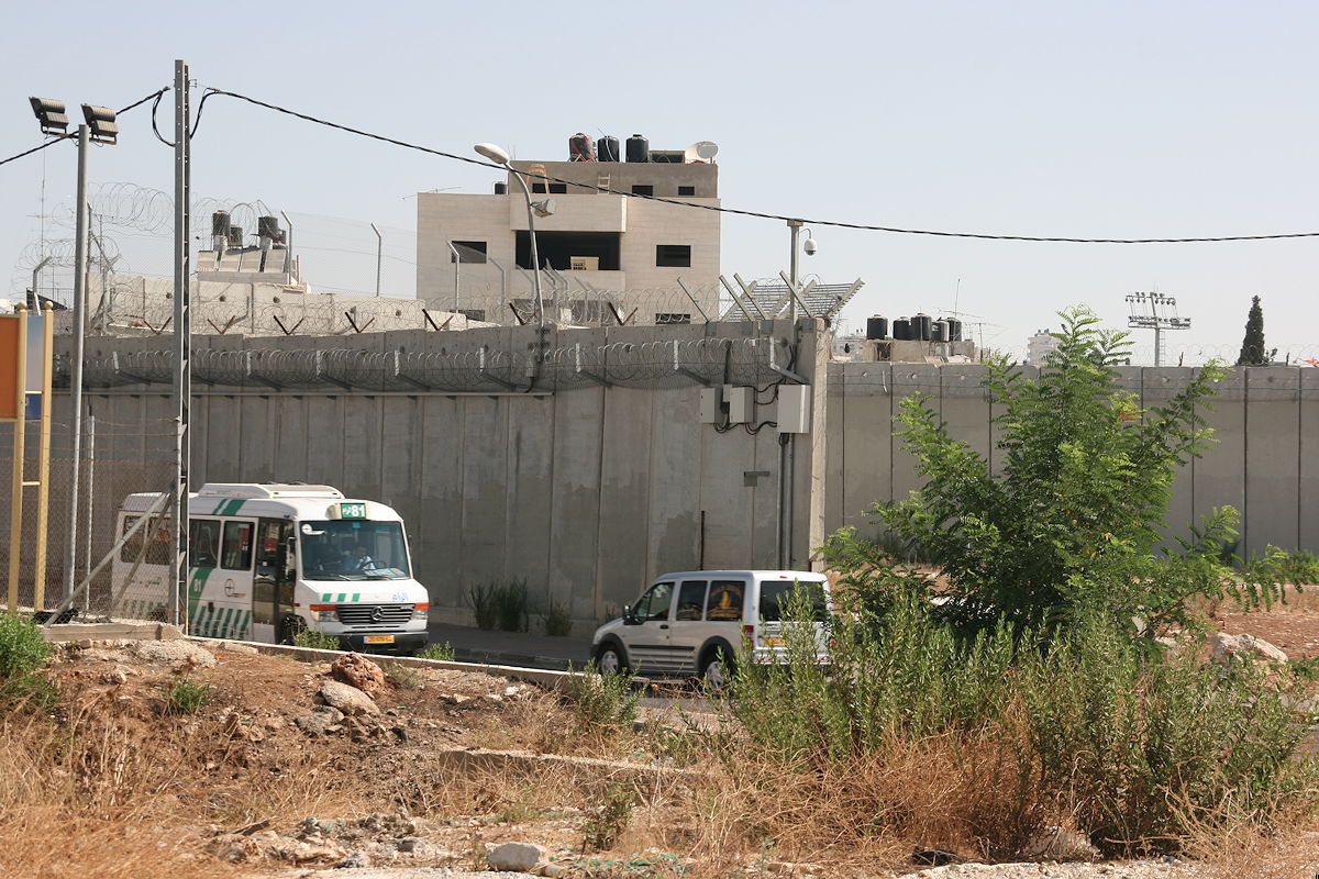
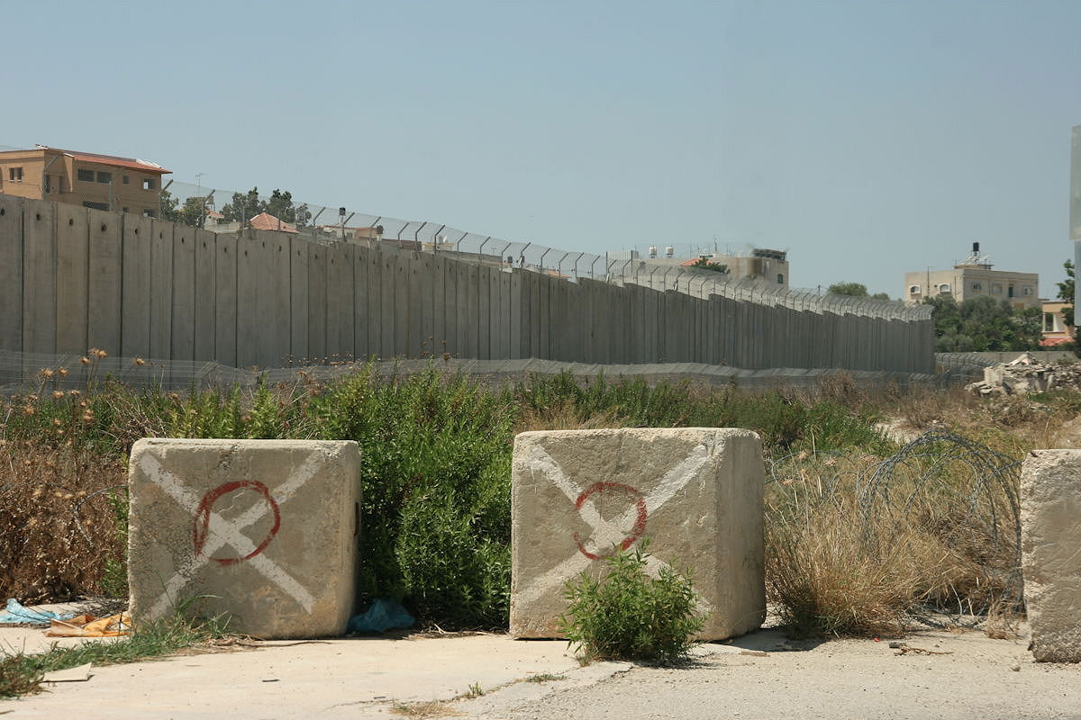
Eventually, we reached a large army check-point near the town of Rumana, near the northern boundary of the West Bank. The duty officer took our passports and made some long phone calls, and eventually returned with the disappointing news that for security reasons we could not proceed, and we should try another check-point about 10 kilometres to the south-west. We drove to that check-point at Barta’a, where a small, heavy-armed gate, overseen by a tall watchtower and masses of barbed wire, provided an exit point from Palestine into Israeli territory.
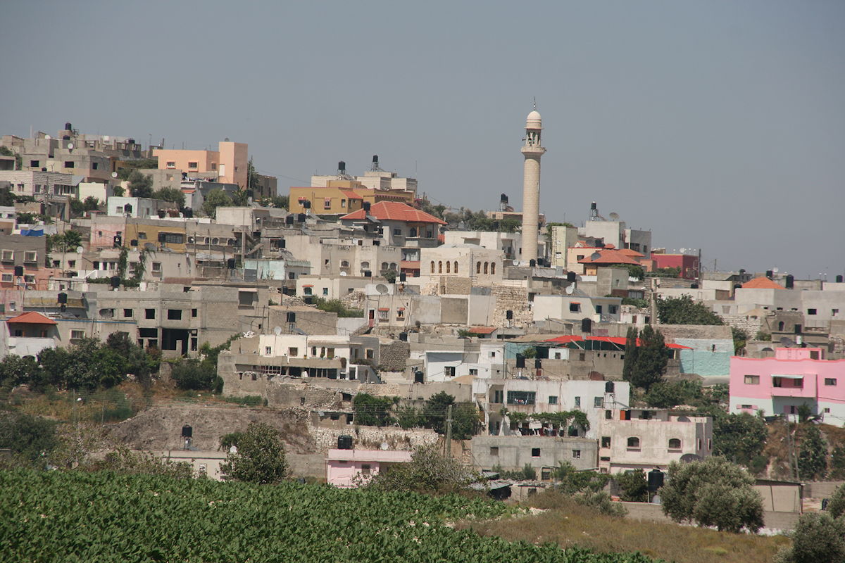
When I explained that we had just come from there, the soldiers were very apologetic and, without really making Palestine sound like a huge prison, they explained that the only sure way of getting out was to take the long road south to Jerusalem. And so we did, passing by beautiful villages such as the one shown to the left, through interlocking hills and steep valleys with dry slopes vegetated by scattered olive trees, much as they would have looked in Jesus’ day when he walked through these same valleys on his way from Jerusalem to Galilee.
The photo at the top of this page shows the farthest limit of our journey today, the “fence” at Barta’a as seen from the Palestinian side, which was (as you will now understand) the only perspective we were able to get. The buildings that can be seen on the other side of the fence show how close we were to Israeli territory.
Our plan for tomorrow is to try again to get to Nazareth and Galilee, and we have already decided to take the toll road that skirts around the “fence”.
Thursday, 15 July 2010
Day 27 - The West Bank


Click any photo to enlarge